Washington: Mt. Rainier, Olympic Peninsula, San Juans: May 30-June 4, 2005
Journals
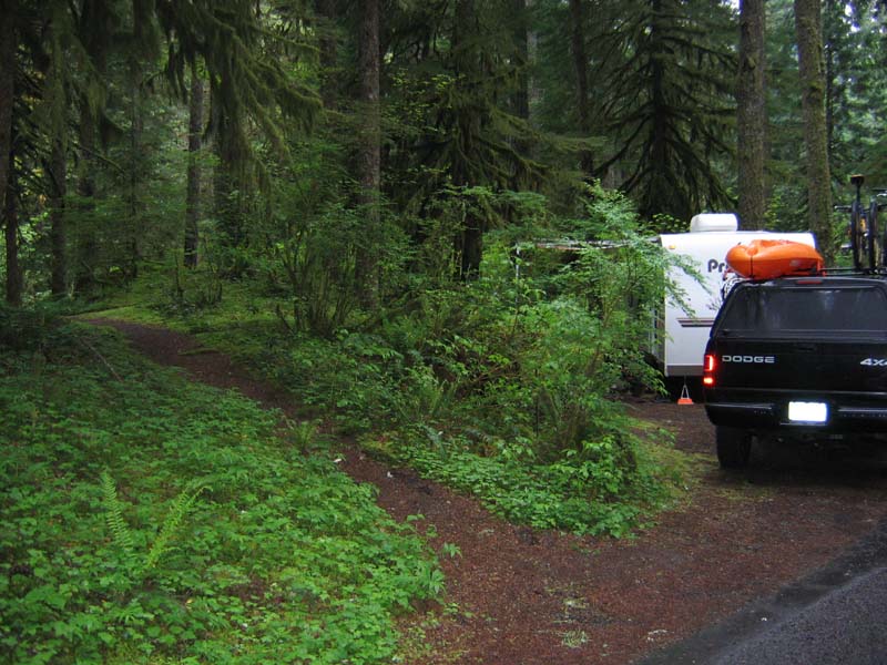
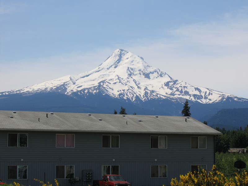
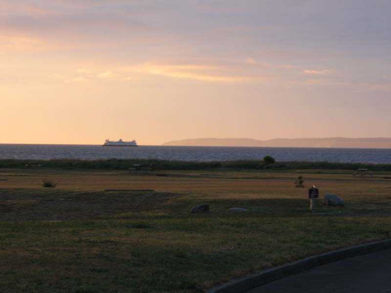
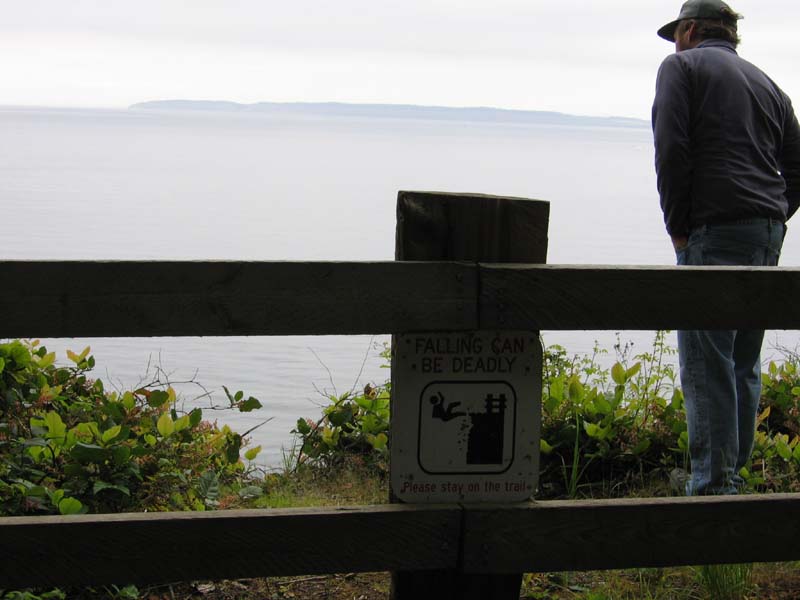
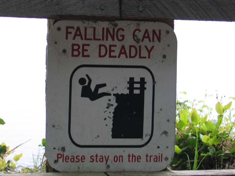
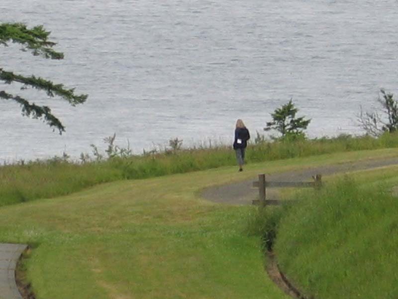
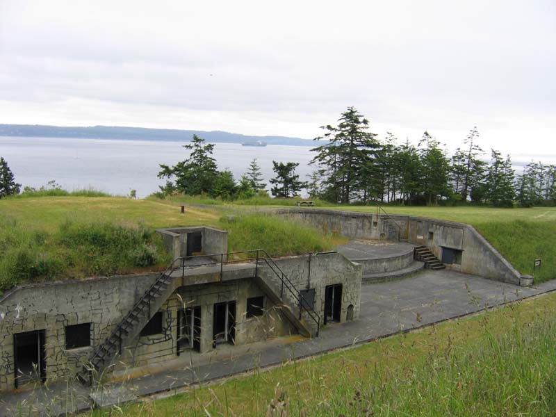
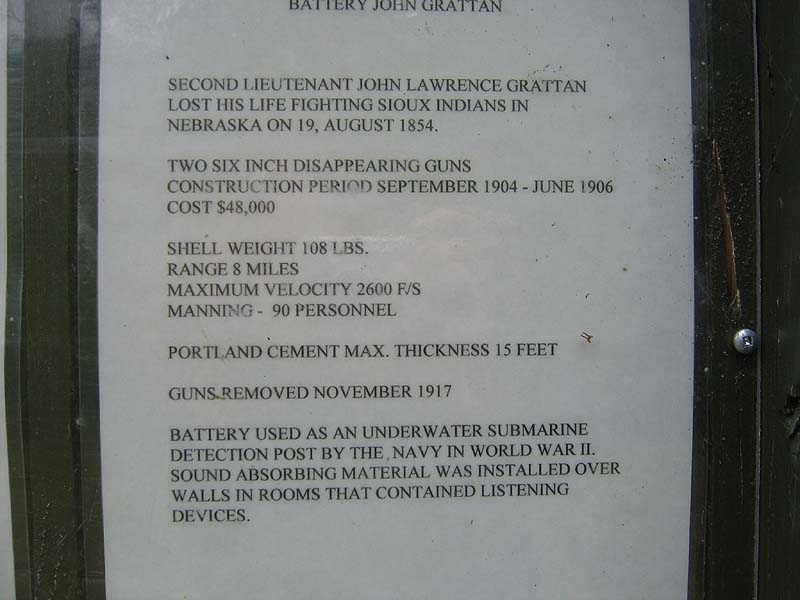
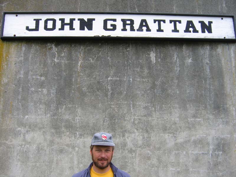
Lisa and I headed out of the Mount Hood area and Oregon on Memorial Day. We didn't get too early of a start because we were trying to meet up with our friend Tom Rye who lives in Mosier, Oregon, right on the Columbia River. Tom's been in and out of the country on business, and we missed him by only a couple hours-oh well, we'll be coming back to this region for certain because there is so much to do here.We drove a little east of Mosier, and crossed the mighty Columbia River into Washington state. Headed north from there towards Yakima, Washington and then west again to Mount Rainier National Park. It was only about a 200 mile drive, but the quickest route for us-there are no good roads that go straight through to Rainier because Mt. Saint Helens is about due south of Rainier. Lisa and I were eleven years old when it blew-although I remember that event clearly, I really had no idea of the magnitude of the eruption. We saw some photos and history books on the eruption-truly impressive. Unfortunately, we never saw Mt. Saint Helens or Mt. Rainier due to the weather-cloudy and some rain the two nights we spent in the park. We did have great views south of Mt. Hood and got a glimpse of Mt. Adams (12,276') on our drive up towards Rainier. These mountains are nothing like the ones we have in Colorado-all the big ones are volcanic in nature, and the altitude difference between "ground level" and the peak is far larger than any Colorado 14er. For instance, our campground in Mount Rainier National Park was at 1,910' of elevation, but the summit of Mt. Rainier is at 14,411'. The road towards the mountain goes to about 5,400' where there is still snow, and this was a very bad snow year. Lisa and I climbed to about 6,500' before bad weather (rain, sleet, snow) and snow cover sent us down. In contrast, our house in Colorado is at about 8,000' elevation. Most of the trailheads for climbing the 14ers are at about 10,000' feet or so-Loveland Pass is 11,998' above sea level. We spent two nights in the park before heading northwest on Wednesday back to the ocean and the Olympic Peninsula: camped at a very nice campground in the Olympic National Park-right on the Pacific Ocean. No swimming at this beach-too dangerous-but, we had a nice walk on the beach! We only spent one night there before heading north and east around the Olympic Peninsula. On Thursday we stopped in at Sol Duc Hot Springs, which is inside Olympic National Park. The pools are similar to the ones at Glenwood Hot Springs in Colorado, not as large, but also not as rowdy. Lisa got in a great swim session, while I soaked in the tubs! We continued on to Fort Flagler State Park on Marrowstone Island near Port Townsend, Washington. We decided to stay there because it's a small island that's part of the San Juan Islands northwest of Seattle in the Puget Sound. While checking out the map, we discovered that there is a state-run ferry that crosses from Port Townsend to Whidbey Island: takes about 30 minutes, and cuts out a lot of driving all around the Puget Sound and through the Seattle metro area. The fare was less than the gas would have cost, and we saved a lot of time too. The campground at Fort Flagler was great, and the fort itself was very interesting. They built it in the late 1800's to defend the passage into Seattle, where they had a major ship-building yard. In those days, they did not have big guns on their naval ships, so they built three forts in a rough triangle, and used strategically placed large gun batteries to cut off the passage. These were 6" to 12" guns with ranges from 5 to 12 miles-not too impressive these days, but for guns built between 1890-1905, they packed quite a punch. The entire north end of Marrowstone Island was the fort, and there are about 8 major gun batteries protecting that end of the island, plus a lot of smaller emplacements, housing for the troops, etc. It's a state park, and they let you explore all of these batteries on your own without all the usual restrictions found in other parks. Lisa and I saw two people the whole time, and we checked out just about everything: once I noted on the map that one of the batteries was called the "Grattan Battery" is was obvious that we would need to spend some time exploring! Turns out that the "Grattan Battery" was named after John Lawrence Grattan (click here for history) who died fighting Sioux Indians in Nebraska in 1854. Not sure yet if he was a relation, but I'll plan to check with my cousin Kevin Gratton, who knows the most about the genealogy in our family. After the park, we went into Port Townsend and watched the new Star Wars movie at the Rose Theatre (old, restored, cool). Did all of that on Friday, and then packed up Saturday morning to take the ferry across. Once we got to Whidbey Island, we did some errands and then drove north to a campground on Birch Bay, just about 15 miles south of the Canadian border. Very nice here-tomorrow we head north into Canada where we plan to spend a day or so around the Vancouver area before driving north through Whistler and the western route towards Alaska. We'll be hitting the road a little more this next section-we need to cover about 2,100 miles in two weeks, so we'll probably drive around 200 miles per day. Internet access may be difficult, but we'll do our best to update. Hope everyone reading this is doing well and enjoying the summer!
Click any of the above photos to enlarge the image!